
Union County Neighbors by Block
A block inquiry works best when each source is kept in its lane. UC Atlas maps parcels and nearby features. Tax and deed records document an ownership trail. Voter information has specific public fields and exclusions. Historic directories and community collections can add dated context. None of those sources is a complete, current list of every person around an address.
| Source | What It Shows About a Block | Access |
|---|---|---|
| UC Atlas | Parcel polygons, adjacent parcels, roads, layers, and aerial context | Free interactive map; not a legal survey |
| Tax property search | Owner, situs and mailing-address clues, assessment context, and parcel key | County-linked property portal |
| Deed and plat records | Recorded transfers, subdivision or lot clues, and legal descriptions | Online deeds from 1973; office records reach further back |
| Public voter information | Permitted registered-voter name, address, status, precinct, district, and history fields | Lookup or law-governed list request |
| Evolve permits | Address-linked work, dates, and project participants | Public search without a login |
| Historic directories | Past address-to-occupant clues for verified Monroe years | Library and DigitalNC collections |
| HOA covenants and CCRs | Recorded subdivision restrictions and development identity | Register of Deeds in-person search |
Ownership and occupancy are different facts. A parcel card may name an owner and tax mailing contact, yet say nothing certain about every person who lives at the situs address. Mark whether each result is a map, tax, deed, registration, historical publication, or public contact source before comparing it.
Map Union County Neighbor Parcels
UC Atlas provides the supported adjacent-parcel method. Search a known address or street, zoom to the subject parcel, then use Cursor Select or Identify to inspect the mapped feature. Pan to the polygons that touch it or fall within the useful immediate area. Owner name, parcel number, address, and subdivision search modes lead into the map from different directions. The viewer also offers layers, search and results panels, aerial imagery, printing, measuring, drawing, and CSV export.
- Search the subject address in UC Atlas and identify the parcel or property key.
- Use Cursor Select or Identify on the surrounding polygons, recording each parcel separately.
- Open the linked tax context and keep the owner, situs address, and mailing address in distinct fields.
- Search an owner in the Register of Deeds when a recorded transfer or legal description is needed.
- Use a recorded deed or survey, not the map alone, for legal boundary questions.
UC Atlas says its parcel boundaries are map-quality and tax data, not a survey or legal description. Parcel edits can appear online within a day, while downloads are monthly. There is no dedicated public neighbors button and no public roster exposed by the viewer. For the broader chain along a named road, use the Union County street records route rather than treating a few nearby parcels as a whole street.
Union County Voter Presence
The public voter layer is useful only for the narrow question it can answer. Under G.S. 163-82.10, a requested voter list can include name, county voter ID, residential and mailing address, sex, race, age rather than full date of birth, party, precinct, districts, and voter history, subject to protected-address rules and actual preparation costs. The ordinary NCSBE lookup is name-led. It requires a first and last name and is not a public street-wide browse tool.
A county or precinct file may help describe registered-voter presence near a block, but it is not a census. It leaves out children, unregistered people, and protected participants. A public voter match also does not reveal a full birth date or a ballot choice. Use status carefully: a removed record should never be assumed current, and a returned address should be compared to a source with a separate date and custodian.
Public-roll limit. A voter record can establish a permitted registration fact, but it cannot establish every household member or reveal a protected address.
Union County HOA Covenant Records
Recorded covenants and conditions can help identify the legal subdivision around a block. The Union County Register of Deeds says HOA covenants and CCRs can be searched in person on the second floor. A recorded instrument may supply a subdivision name, restriction, lot reference, or development clue that connects a mapped parcel to its recorded history. It is not a current household directory or a promise that an association still has the same contact structure.
No official consolidated Union County neighborhood-association inventory, umbrella directory, or public member roster was located in the research. That gap matters. Do not infer a current association from a parcel label, and do not publish a private roster. For a historical association name, ask the library, the relevant city or town clerk, or the recorded-covenant custodian for a public source. A voluntarily published contact page is different from a member list.
The Register of Deeds land-record guidance is the official starting point for a covenant search and for questions about records held at the office.
Union County Community History Sources
Community sources can explain a block without exposing private household data. The Union County Library's Dickerson Room, DigitalNC, and the Carolinas Genealogical Society hold or point to local newspapers, yearbooks, directories, obituary help, historic photographs, family files, and clippings. A dated Monroe directory, newspaper notice, or yearbook may connect a name with a past street, school, church, civic group, or local institution. Treat it as a historical lead and preserve the year it was published.
Congregation and civic-group rosters are generally private unless a group has voluntarily published them or an archive has accepted them. The safer route is a public contact page, a library collection, or a municipal office directory. That approach respects the difference between discovering local history and assembling a current list of households.
The City of Monroe's public department directory is an example of a municipal contact source rather than a neighborhood roster.
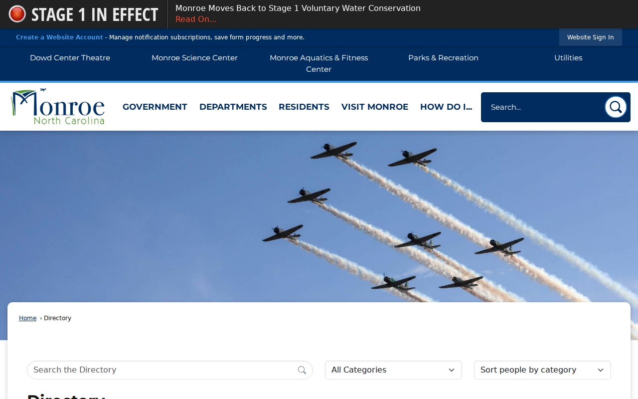
Public office contacts can help locate the right department for an archival or civic question, but they do not identify the people who live on a Union County block.
Union County Records Versus Neighbor Tools
Official rolls document a defined record: a parcel map shows a polygon, a tax card identifies an owner of record, a deed records a transfer, and a voter result reflects permitted registration data. Commercial neighbor-lookup tools combine public fragments, directory material, marketing data, and other sources into a category of profile. They can lag behind corrections, merge similar names, miss protected people, or make an older address look current. Their category is best treated as a lead, not a conclusion.
The official route is slower but auditable. Start with the parcel, identify nearby ownership through the tax and deed chain, use voter data only within its stated rules, and label each fact with its date and custodian. A Sheriff event result is likewise an event or incident record, not a neighbor record. It should not be used to draw conclusions about a person or a block.
The Union County public event search demonstrates the date, name, address, and case-oriented scope of that separate records system.
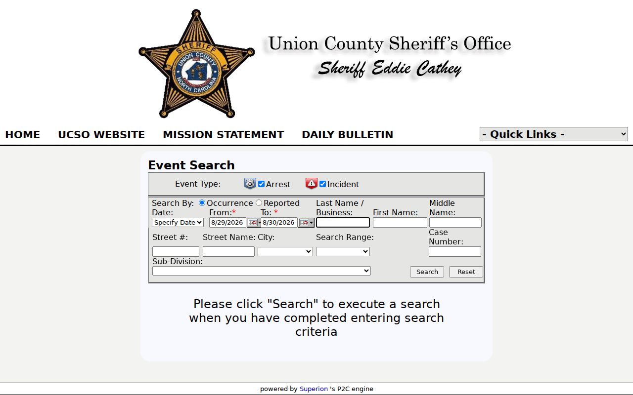
Its search-oriented layout underscores that an event query is not a button for identifying neighbors and does not disclose a complete block population.
Union County Block Geography
Parcel and address labels may cross more than one local geography. Union County has nine townships, and the first two digits of a Property Key can orient a parcel to New Salem, Marshville, Lanes Creek, Buford, Jackson, Sandy Ridge, Vance, Goose Creek, or Monroe township. The prefix is a navigation clue, not a street address or proof of a municipal boundary. UC Atlas layers can also show municipalities, precincts, subdivisions, zoning, floodplain, and aerial context.
Mailing cities and ZIP labels can differ from county tax or municipal labels. A block near Indian Trail, Monroe, Waxhaw, Weddington, or another Union community may have records that use different place names. Preserve the county parcel identifier, street address, township clue, and record date together. That combination is more useful than forcing every source into one city label.
When an address label seems uncertain, compare the mapped parcel with its subdivision, roads, and the legal description in the recorded instrument. County GIS updates address points daily and says they are visible online the next day, while parcel downloads are monthly. That timing can explain a recent difference between a live map and a downloaded file. It does not turn a tax map into a survey, and it does not establish who occupies the nearby parcel.
Privacy Limits for Union County Neighbors
Public parcel data does not guarantee that an owner lives on the land, and it does not identify every renter, relative, guest, or household member. Utility customers and delivery records are not public. DMV information has separate privacy limits. Juvenile, sealed, expunged, and confidential court matters are omitted from ordinary searches. Address Confidentiality Program participants and protected voters may use a substitute address, and their actual location must not be reverse-engineered from a map or linked records.
If a map, tax, or voter entry seems wrong, contact the originating custodian for correction rather than copying it into another list. North Carolina's Public Records Law can provide access to existing records, but it does not require a county office to create a custom neighborhood report. Personal safety and ordinary curiosity do not remove the need to respect record-specific limits.
Lawful use. Union County neighbor research is for lawful personal research, community history, and understanding public property records. Do not use records to watch, stalk, harass, intimidate, or harm another person.