
Union County ZIP Code Directory Coverage
The county's community-health and survey material provides a practical list of ZIP choices associated with Union County places. It is useful for comparing local labels, not for drawing a county boundary. USPS is the verification authority because ZIP boundaries follow delivery routes rather than municipal lines. The list also includes adjacent responses and one entry reported as unrecognized by USPS. Treat each as a lead that needs a complete-address result, especially near Charlotte, Matthews, and municipal edges.
| ZIP | Areas associated in county material | Post office or delivery context | Local note |
|---|---|---|---|
| 28079 | Indian Trail, Lake Park | Indian Trail-area delivery | ZIP and municipal labels do not define the same boundary. |
| 28103 | Marshville | Marshville delivery | Rural and town addresses may share route geography. |
| 28104 | Matthews, Stallings, Weddington, Wesley Chapel | Matthews/Weddington-area delivery | Extends across municipal labels. |
| 28105 | Matthews | Matthews-area delivery | Adjacent ZIP; verify the exact address with USPS. |
| 28108 | Mineral Springs | Mineral Springs-area / PO context | County survey lists it; it may be a small or PO-oriented ZIP. |
| 28110 | Monroe, Unionville | Monroe/Unionville delivery | A city label is not a city-limit test. |
| 28111 | Monroe | Monroe-area / PO context | County survey lists it as an available response ZIP. |
| 28112 | Monroe | Monroe delivery | Core Monroe ZIP; USPS has returned Monroe 28112-5501 for an official result. |
| 28113 | Listed as unrecognized by USPS in county survey | No stable local USPS place association located | Preserve as a survey response, not a confirmed standard delivery ZIP. |
| 28173 | Waxhaw, Marvin | Waxhaw-area delivery | Covers place labels beyond a single town boundary. |
| 28174 | Wingate | Wingate delivery | Core Wingate ZIP. |
| 28227 | Charlotte, Mint Hill | Adjacent Charlotte/Mint Hill delivery | Verify whether a specific address is in Union County. |
The county's 2019 assessment and 2022 survey repeat these response choices. Neither source is a substitute for USPS delivery verification or a complete countywide postal-boundary inventory. USPS ZIP+4 delivery-point counts and a current USPS boundary shapefile were not located in the county materials.
USPS Verifies Union County ZIPs
Use the official USPS address lookup with a complete Union County address before searching tax, voter, or deed material. The postal result supplies the delivery ZIP for that address. It does not decide the county parcel boundary, whether the property lies within an incorporated municipality, or who owns it. Save the address exactly as USPS returns it, then compare it with the county's situs address and map placement. This is the most direct way to resolve a mailing label that seems to conflict with a town name.
| USPS lookup element | What the research established |
|---|---|
| Address entry | Use a complete Union County address. The inspected source was a generic official form, and its exact field labels were not captured. |
| ZIP result | Use the returned delivery ZIP to verify the postal routing assigned to that address. |
| Limits | A delivery ZIP is not proof of municipal limits, township, parcel ownership, or neighborhood membership. |
The USPS address lookup is the official address-verification form captured for this postal comparison.
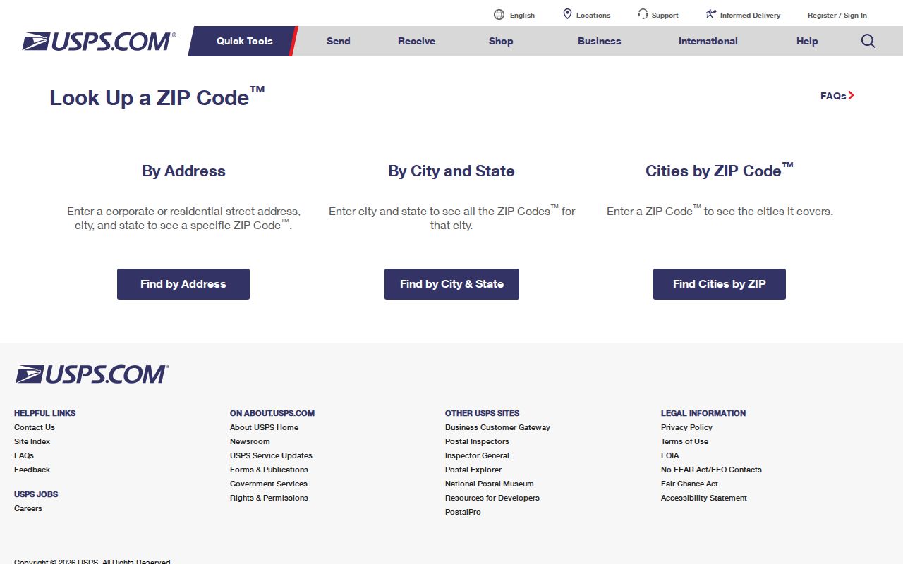
Once USPS confirms the delivery ZIP, use county tools to identify the parcel and local jurisdiction rather than relying on the postal label alone.
Western Union County ZIP Labels
Three ZIP labels show why a postal directory needs local context. ZIP 28079 is associated with Indian Trail and Lake Park. ZIP 28104 is associated with Matthews, Stallings, Weddington, and Wesley Chapel. ZIP 28173 is associated with Waxhaw and Marvin. These are place associations from county material, not a claim that every address with one of those ZIPs lies inside the named town. The county's roads and service areas cross town and unincorporated boundaries.
Fire-department addresses illustrate the same pattern. Hemby Bridge and Stallings are listed in Indian Trail 28079, while Jackson and Waxhaw are listed in Waxhaw 28173. Those examples give useful geographic context, but a search should still begin with the full address. A town label can be a mailing convention, a service-area label, or an incorporated place, and those categories can differ.
Note: A Union County ZIP narrows postal routing, but the parcel map and municipal layer answer different geographic questions.
Eastern Union County ZIP Routes
Marshville and Wingate have clearer local associations in the county material, but their ZIPs still describe delivery geography. ZIP 28103 is associated with Marshville and can serve rural and town addresses. ZIP 28174 is associated with Wingate. Monroe appears under both 28110 and 28112, with Unionville also associated with 28110. A result that says Monroe should not be used by itself to decide whether the address lies inside Monroe's incorporated boundary.
The county's fire-department list supplies practical examples: Allen's Crossroads is in Wingate 28174; Beaver Lane and New Salem are in Marshville 28103; Bakers and Fairview are in Monroe 28110; Griffith, Lanes Creek, Sandy Ridge, and Stack Road are in Monroe 28112. These examples help compare a postal route with the wider county geography. They are not a street-level resident list or a boundary survey.
Small and Adjacent Union County ZIP Results
Some ZIP entries need more caution. County material lists 28108 for Mineral Springs as a small or PO-oriented context and 28111 as a Monroe-area or PO context. It lists 28113 as unrecognized by USPS, so it should not be presented as a confirmed standard delivery ZIP. ZIP 28105 is an adjacent Matthews label, while 28227 is an adjacent Charlotte and Mint Hill label. The county material specifically advises checking an exact address before assuming either belongs to Union County.
This is a useful comparison between a local survey response and a postal decision. A survey can record how people identify their area. USPS assigns delivery routing to a complete address. County GIS supplies parcel context. Each can be accurate within its own purpose, but none should replace the others.
Finding Residents Within a Union County ZIP
A ZIP can organize a lawful search, but none of the exposed county portals offers a verified public ZIP-wide people search. Start by validating the address with USPS. Then use the property or GIS tools for the parcel, not a guess based on the city label. The NCSBE lookup is also not ZIP-led. It accepts name, optional year of birth, county, and status, while a lawfully requested voter file can be selected through the options permitted by statute. Treat the results as source-specific, dated records.
- Submit the complete address to USPS and preserve the returned delivery ZIP.
- Enter the county situs address in Tax Administration or UC Atlas to identify the mapped parcel, subdivision, and local context.
- If a specific person needs a public registration check, use the NCSBE name-led lookup with Union selected as the county. Do not expect a public ZIP browse.
- For a permitted voter-list request, ask the Union County Board of Elections about available statutory selections, actual preparation cost, format, and protected fields.
- When the ZIP has narrowed the area to a particular road, move to the Union County street directory for the address-to-parcel and deed sequence.
ZIP routing does not replace the parcel key, legal description, or record date. Keep those identifiers with the postal result so later research remains traceable to the right address.
Union County ZIP Search Fields
The research captured an important limit: UC Atlas displays ZIPs as a GIS layer but does not expose a dedicated ZIP search field. Its search modes are Owner Name, Parcel Number, Address, and Subdivision Name. Its Acreage and Sales filters work from the current map extent. The Spatialest property portal may accept a ZIP as part of an address or result, but the live field layout was not captured. Evolve searches address, parcel, subdivision, and related permit fields, not an exposed ZIP field.
| Portal or route | Exposed field or control | ZIP use | Limit |
|---|---|---|---|
| USPS address lookup | Complete-address form | Verifies the delivery ZIP assigned to an address | Exact visible field labels were not captured. |
| UC Atlas | Owner, Parcel Number, Address, Subdivision Name | ZIPs are available as a GIS layer | No dedicated ZIP search mode was exposed. |
| UC Atlas | Acreage and Sales filters | Can narrow the current map extent | They are not ZIP filters. |
| Spatialest property portal | Owner, property address, parcel or property key | May use ZIP as part of address context | Live form behavior and field layout require confirmation. |
| NCSBE Voter Search | First name, last name, optional year, county, status | Union can be selected as county | No ZIP field is exposed. |
Open the UC Atlas viewer after USPS verification to see the parcel, ZIP layer, and municipal context together. For a specific address, that is more dependable than assuming a postal label supplies a county boundary.
Union County Parcel Keys and ZIPs
A ZIP, parcel key, and legal description are different identifiers. A ZIP directs mail. A county property key identifies a tax and parcel record. A legal description identifies land through a deed or plat. The first two digits of a Union County Property Key identify one of nine townships: New Salem, Marshville, Lanes Creek, Buford, Jackson, Sandy Ridge, Vance, Goose Creek, or Monroe. That makes the prefix a useful local navigation clue when the mailing city and ZIP do not fit the expected municipality.
Do not use the key prefix as a boundary decision. Vance township reaches Weddington, Wesley Chapel, Indian Trail, Stallings, and Hemby Bridge, while Goose Creek reaches Monroe, Fairview, Unionville, and Indian Trail. The ZIP label and the township clue can both be useful, but the mapped parcel and recorded description remain the sources to compare for land context.
ZIPs Versus Union County Limits
Postal and municipal geography overlap without matching. A Monroe mailing address can sit outside Monroe's incorporated boundary. A Waxhaw or Indian Trail label may serve an address in another municipal jurisdiction. The county identifies 28105 and 28227 as labels that deserve exact-address verification, while 28079, 28104, 28110, 28112, and 28173 show how common cross-label geography can be. Before requesting a record, identify the actual county parcel and the correct custodian instead of relying on the ZIP alone.
- ZIP
- A postal routing code assigned for mail delivery. It is not a city-limit or parcel-boundary label.
- ZIP+4
- An added four-digit delivery detail used by USPS for a more specific mail-routing segment.
- PO-box ZIP
- A ZIP associated with post-office box service or a postal context. County material suggests this possibility for some local entries but does not establish a complete classification.
- Unique ZIP
- A ZIP assigned to a single organization or location. No Union County example was verified in the research.
- Carrier route
- A mail-delivery route within postal operations. It should not be confused with a municipal or county boundary.
Boundary check. USPS verifies delivery routing, UC Atlas supplies parcel and map context, and a deed or plat supplies the controlling legal land description.